What we build when the client is us.
BridgeWise is the first app Coryl has published under its own name — a bridge-clearance tool for the Norfolk Broads, built to the standard we hold client work to. Free, offline, and nothing you type into it ever leaves your phone.

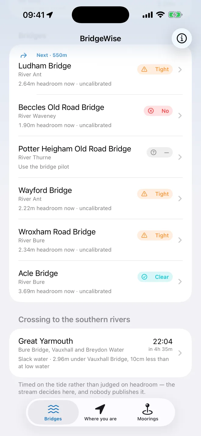
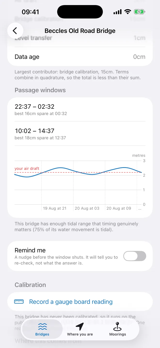
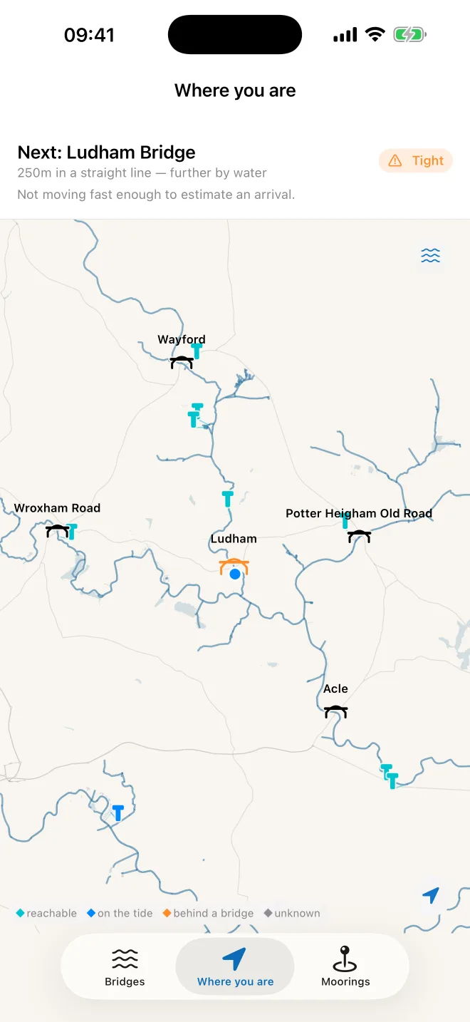
BridgeWise answers one question: will your boat fit under the next bridge? It compares your vessel's air draft against the water level at the Broads' low bridges — Ludham, Wroxham, Acle, Potter Heigham, Wayford and Beccles — and answers Clear, Tight or No, along with the passage windows that say when the answer changes.
Great Yarmouth is treated as a timing problem rather than a clearance one, because on that stretch the stream decides and nobody publishes a verdict. Moorings are listed by whether you can actually reach them — which bridges stand between you and a berth. All of it works with no signal.
How it's built
Predictions, not tables
Tide levels come from live Environment Agency readings, harmonically fitted and residual-corrected — not copied from a published tide table.
The chart is ours
Drawn from OpenStreetMap data and bundled into the app, so it works with no signal in the middle of a river. We publish the data back out under ODbL.
The margin shows its working
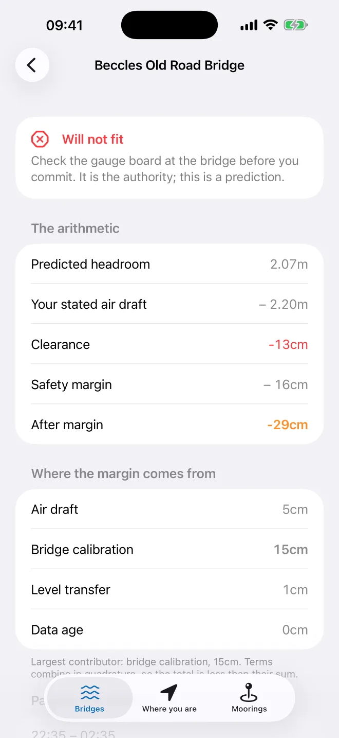
The safety margin is composed from named, individually-quantified sources — air draft, bridge calibration, level transfer, data age — and the app shows you the sum rather than just a verdict.
Nothing leaves the phone
No accounts, no analytics, no tracking, no server. There is nowhere for your data to go.
What it doesn't do
BridgeWise is advisory. It is not a navigation chart, it works from published bridge heights, it does not model tidal streams, and it covers the Norfolk Broads and nowhere else. The gauge board at the bridge is the authority — the app says so itself, on every verdict it gives.
Water level data © Environment Agency, Open Government Licence. Map data © OpenStreetMap contributors, ODbL. The databases that ship inside the app are published at Open Data, and what the app does with your information — which is keep it — is set out in the Privacy Policy.
Built for ourselves. Built the same way for you.
Tell us what you're trying to build. We'll tell you honestly how we can help.
Start your project →